English
According to the website of the National Earth Observation Science Data Center (NEOSDC), the 6th Asia-Oceania Regional Earth Observation Comprehensive Program (AOGEO) International Symposium was held at the University of Macau from May 29 to 31. Under the joint witness of the GEO Secretariat, Co-Chairs of the AOGEO Coordination Committee, experts from the GEO China Committee, and on-site participants, the world's first set of 5-meter resolution wide-band multispectral satellite data set (JLS-5M) was officially opened for sharing. Global users can obtain related data products through the NEOSDC.

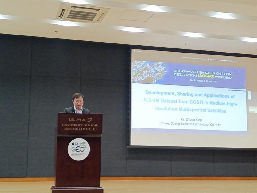
Figure 1 Project leader and researcher at Changguang Satellite Technology Co., Ltd., Zhong Xing, introduces JLS-5M data set
The data set was jointly developed by Changguang Satellite Technology Co., Ltd. and the Aerospace Information Research Institute of the Chinese Academy of Sciences, and includes 20 spectral bands, with a spatial resolution of 5 meters for the main land feature spectral band images. The development of the data set uses L1-level standard data collected by the Jilin-1 Spectral 01/02 satellites covering 65 countries along the Belt and Road from 2020 to 2022. The data set accuracy evaluation was conducted using absolute radiation calibration technology in orbit such as atmospheric correction algorithms with neighboring pixel effects removed, field calibration, cross-calibration, and index product verification. Eventually, two land surface reflectance product data sets were constructed with a coverage rate of over 90%, supporting quantitative remote sensing satellite system application, and the data volume exceeded 80 TB (JLS-5M data set download link: https://www.chinageoss.cn/datasharing/theme/viewThemeById?id=JLS5M).

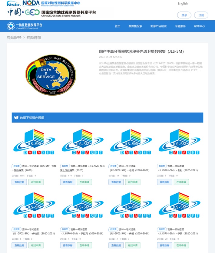
Figure 2 JLS-5M data set service system web interface
As an important achievement of the National Key R&D Program International Cooperation Special Project (2019YFE0127000), the data set helps to improve the precision of land use, resource management, environmental monitoring, and other areas, further enhancing the international influence of high-quality domestic satellite data resources.